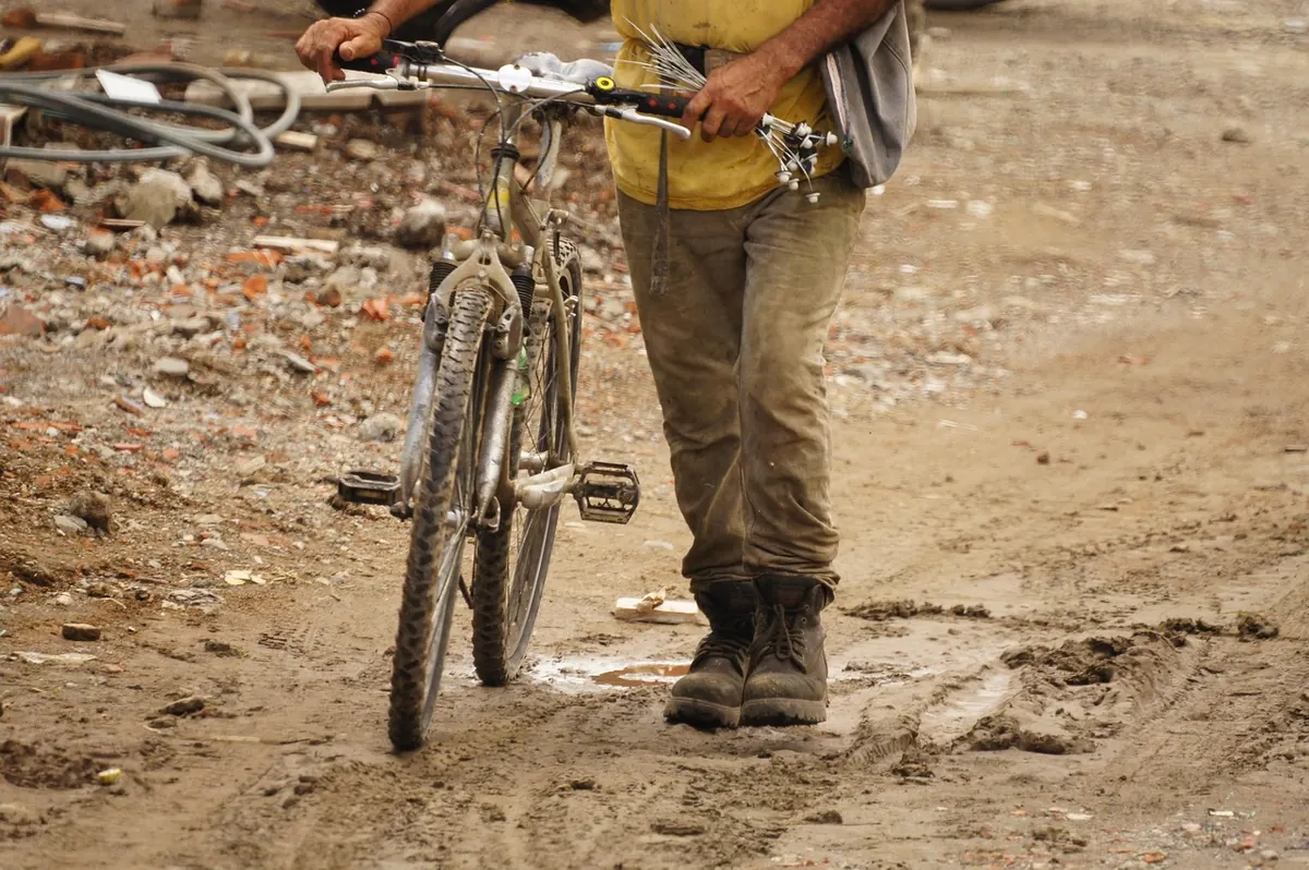
Most disappointing days in the hills do not begin with anything dramatic. They begin with denim jeans, a phone at 12 per cent battery and a gate left swinging behind you. The mistakes that catch out new walkers are rarely about fitness or bravery; they are small, ordinary oversights, and nearly all of them are easy to avoid once you know where they tend to happen.
None of them require expensive kit or years of experience. They require twenty quiet minutes the night before, a little humility about how fast you actually walk, and the willingness to change your plan when the cloud drops onto the ridge you were aiming for.
Jeans are the classic error. Cotton soaks up water, holds it against your skin and takes hours to dry: fine for twenty minutes around a reservoir, miserable on a four-hour loop when the cloud comes down. Walking trousers or quick-drying shorts, a non-cotton base layer and a mid-layer you can peel off when the climbing starts will do more for your day than any gadget.
The trap is that the car park is not the walk. A sheltered lay-by on a still morning can feel two seasons warmer than an exposed ridge forty minutes later, and the photograph everyone takes at the start is taken in the mildest conditions you will meet all day. If you are not slightly too cold for the first ten minutes, you are probably wearing too much.
Footwear is the other half of it. You do not need expensive boots, but you do need tread. Smooth-soled trainers slide on wet grass and clay, and a twisted ankle two miles from the car is a long afternoon. Break new boots in on a short local walk, and wear one decent pair of walking socks rather than two thin pairs bunched together, which is a reliable way to earn blisters.
Carry what you hope not to use, as well: waterproof jacket and trousers rather than jacket alone, hat, gloves, spare layer, water, food and a head torch. A small rucksack keeps your hands free for gates and stiles.
Phone maps are excellent until the signal drops, the battery dies in the cold or the screen cracks on a stile. None of that is dramatic; any of it can leave you at a junction of three paths with no idea which one you walked in on.
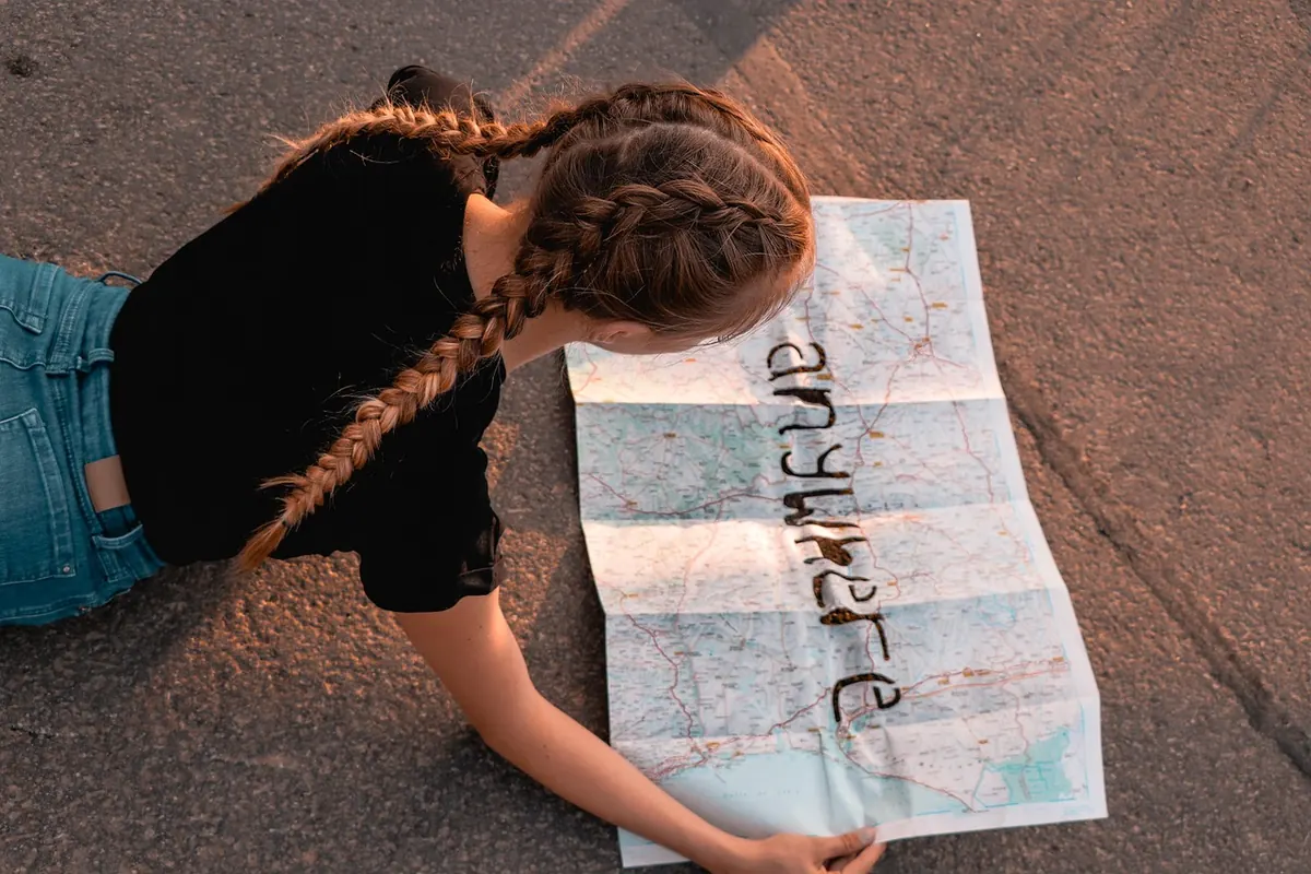
Take a paper map too. An Ordnance Survey Explorer at 1:25,000 shows field boundaries and detail; a Landranger at 1:50,000 covers more ground. On the Explorer four centimetres is one kilometre on the ground, on the Landranger two. Contours matter more than distance, incidentally: four kilometres along a valley floor and four kilometres climbing 300 metres are entirely different afternoons.
Two skills are worth practising before you need them. The first is setting the map: turn it so that the features printed on it line up with the ground in front of you, rather than staring at a north-up screen while the path bends east. The second is using a handrail — a wall, a stream, a fence line or a forest edge that runs roughly the way you want to go, so that you only need to count junctions rather than hold a perfect bearing.
A basic compass costs less than a pub lunch and will do more for your confidence than any subscription. Learn to take a bearing off a wall and walk to it. Then leave the phone in your pocket, at full charge, for the photograph and the emergency call.
Almost every new walker overestimates their speed. A reasonable rule of thumb on British footpaths is one hour for every five kilometres on the flat, plus an extra hour for every 600 metres of ascent — and that is moving time for a fit walker on good ground, not a family with a rucksack of sandwiches stopping to look at every view.
Mud, stiles, gates, bracken and a wrong turn all take minutes you did not budget for. If the guidebook says four hours, plan for six, check what time the sun sets, and give yourself a hard turnaround time. Being back at the car in daylight with the walk unfinished is a good day. Being benighted on a path you do not know is not.
Weather in the hills changes faster than a phone notification. Check the mountain forecast the night before and again in the morning, and look specifically at wind speed, cloud base and the time the rain is due — not just the temperature in the nearest town, which may sit several hundred metres below you and in a different weather system entirely.
Wind is the one that catches people out. A steady 40 mph on an exposed ridge will push you off your line, chill you quickly the moment you stop and make a waterproof jacket flap like a sail. If the cloud base is below the summit you were planning to reach, choose a lower route instead. The hill will still be there next month.
This is the cheapest safety measure on the list and the one most often skipped. Send someone a message before you set off: the route, the car park, the number in your party and the time you expect to be back. Send another when you reach the car.
If you fail to check in, that person can ring you, then ring the police, and give them something useful. "He went walking somewhere near Keswick" helps nobody. "He was doing the loop from the Mosedale car park and should have been back by six" gives a mountain rescue team somewhere to start looking.
Paths cross working land. Fields contain sheep and cattle, crops grow in them, and gates exist because somebody has to move livestock or machinery through them. Close every gate behind you unless it is tied open, keep dogs on a short lead around livestock and ground-nesting birds, give horses a wide berth and a quiet voice, and park so that a tractor or a fire engine could still pass.
Leave what you find, take your litter home — including fruit peel and apple cores, which are not "natural" in a Lakeland field — and do not climb walls or cut corners across crops. The Countryside Code sums it up better than any lecture:
Respect everyone. Protect the environment. Enjoy the outdoors.
Hunger on a hill arrives faster and harder than hunger at home. A single sandwich eaten at the summit is not enough for a five-hour walk; eating little and often keeps your legs working and your mood steady. Pack something you can eat with gloves on.
Water is the same. On a cold, breezy day you may not feel thirsty and you will still be losing fluid with every step. A litre is reasonable for a short lowland walk, more for anything longer or higher, and remember that streams running through farmland are not a safe refill.
Run through the same short list every time and it takes ninety seconds:
If you realise you are lost, stop. Walking on to "see what is round the next corner" is how a twenty-minute error becomes a three-hour one. Shelter from the wind, put on the extra layer, eat something, then look at the map calmly and work out the last point you were certain about.
Retracing your steps to that point is almost always faster than pushing on. If anyone is injured or you are genuinely stuck, call 999, ask for the police, then ask for mountain rescue, and be ready with your grid reference, a description of where you are, the number of people in your group and any injuries.
And the mistake worth naming separately, because it sits behind most of the others: not turning back. A summit, a bothy, a loop you have half-finished or a hopeful "we're nearly there" is never worth a night out on a hillside. The best walkers you will meet are the ones who have turned around plenty of times, and simply gone back another day.
Photo: TRAPHITHO / Pixabay
How to walk through British villages and farmland without causing offence: gates, livestock, driveways, rights of...
A first-timer's guide to the South West Coast Path: reading tides, staying safe near cliff edges, judging distances...
A practical guide to minimising your impact on the British countryside, covering path use, waste, wildlife...

Exploring paths, places, and stories of rural Britain..
